


-
-
SMART telescopes: which one should you choose?
September 04 2026 -
What are the different types of clouds?
July 28 2026


What are the different types of clouds?
For astronomy enthusiasts, clouds are like gravity when you lose your footing, ants at a picnic, ketchup on a light-colored shirt, or a crystal-clear glass door to an absent-minded passerby. In short, they are the ultimate enemy. And since it's often said that the best way to defeat an enemy is to understand it, let's take a closer look at clouds, starting with how they form.
Normally, water does not rise spontaneously because its density is greater than that of air. However, when water exists at a much lower density, as it does in the form of water vapor, the situation changes. Air masses containing water vapor, heated by the Sun-warmed ground, expand as their volume increases. This reduces their density, allowing them to rise through the surrounding denser, heavier air masses toward the upper layers of the atmosphere, where clouds are formed.
This is the basic principle behind cloud formation, a process that seems to be especially efficient whenever we've planned an evening of stargazing or a day at the beach.
If the temperature at higher altitudes is sufficiently low, the water vapor that forms clouds freezes into tiny ice crystals. Thanks to their extremely small size, on the order of one hundredth of a millimeter, these crystals are able to remain suspended high in the atmosphere.
This is the case, for example, with noctilucent clouds, one of the most fascinating and unusual cloud types. So delicate that they can form at remarkable altitudes, they develop at heights exceeding 80 km (50 miles) in the mesosphere, far above the troposphere, where the clouds we observe in everyday life are typically found. Noctilucent clouds become visible after sunset and are most commonly observed at higher latitudes, generally between 50° and 70°, where they stand out for their distinctive, delicate, wave-like patterns.

For every other cloud type, the maximum altitude it can reach depends on its relative density compared with the surrounding air masses and on the lifting force of rising air currents. In fact, cloud classification is based largely on altitude, as well as on each cloud's physical characteristics.
Among them are the delicate cirrus and cirrocumulus clouds, composed of ice crystals, which drift at altitudes of around 13,000 meters (43,000 feet) near the upper boundary of the troposphere.
 |
 |
|
Cirrus. Photo by Lin Chambers. Source: https://scool.larc.nasa.gov/images/Ci4.jpg |
Cirrocumulus. Photo by Dave Kratz in Poquoson, Virginia. Source: https://scool.larc.nasa.gov/images/Cc4.jpg |
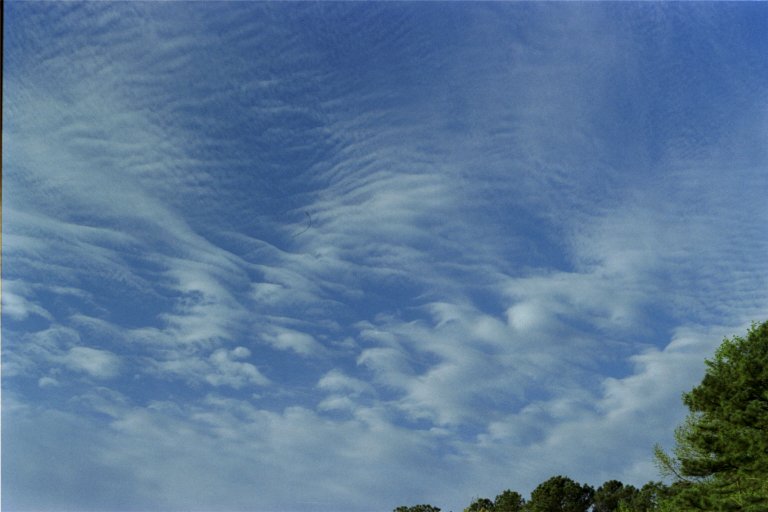
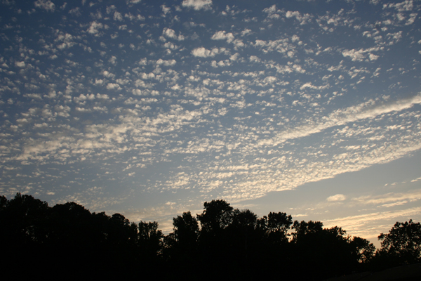
Lower down are altocumulus clouds, often recognized as the classic "mackerel sky" because of their distinctive fleecy appearance. They typically form at altitudes between 6,000 and 7,500 meters (20,000–25,000 feet).


Descending to just a few hundred meters above the ground, we finally encounter stratus and nimbostratus clouds, low-level cloud types that are typically associated with persistent rainfall.
 |
 |
|
Stratus. Photo from Audubon Elementary School, Rock Island, IL. Source: https://scool.larc.nasa.gov/images/St7.jpg |
Nimbostratus |
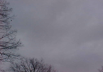
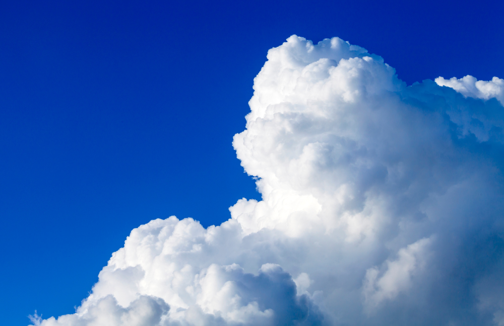
All the cloud types we have discussed so far share one characteristic: they develop primarily in a horizontal direction, occupying well-defined layers of the atmosphere. An exception is the cumulonimbus, one of the most impressive and spectacular cloud types.
Cumulonimbus clouds are often enormous, capable of covering entire regions and extending vertically from near ground level to altitudes exceeding 12,000 meters (39,000 feet). They are the quintessential thunderstorm clouds and the most turbulent cloud formations in the atmosphere.
Despite being composed of countless microscopic water droplets suspended in the air, a single large cumulonimbus cloud can contain thousands of tons of water.

Cumulonimbus. Photo by Kay Cunninghan, a Texas rancher, May 2012. Fonte: https://scool.larc.nasa.gov/images/Kay_Supercell.jpg

One characteristic of clouds that can sometimes be misleading is their apparent stillness. In reality, quite apart from drifting through the atmosphere, the shape of clouds is constantly changing. Simply watching a cloud for a few tens of seconds is enough to notice how quickly its outline can evolve.
This is especially evident when, during skywatching, the profile of a cloud resembles an animal or a familiar object. In the blink of an eye, that recognizable shape will transform, making the cloud completely unrecognizable.
Finally, if we want to estimate how far away clouds can be seen, we need to consider that the answer depends primarily on their altitude above the ground. Low-level cloud types, such as nimbostratus clouds, can generally be seen from distances of around 60 km (37 miles), or slightly farther.
With towering cumulonimbus clouds, however, the situation is entirely different. Their majestic structure, extending for many kilometers in height, can be visible from distances exceeding 300 km (186 miles) before disappearing beyond the curvature of the Earth's surface.
So, while clouds will probably always remain the greatest obstacle for anyone who loves observing the night sky, understanding the different types of clouds and how they form makes it difficult not to appreciate their beauty. Every cloud tells a different story, from the altitude at which it develops and the atmospheric conditions that created it to the weather phenomena it may foreshadow. Even when they prevent us from observing stars and planets, clouds remind us that the sky always has something fascinating to reveal.